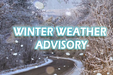
Winter Weather Advisory issued December 16 at 3:08PM MST until December 18 at 3:00AM MST by NWS Saltlake
…WINTER WEATHER ADVISORY REMAINS IN EFFECT FROM 8 AM THURSDAY TO 3 AM MST FRIDAY…
* WHAT…Snow expected. Total snow accumulations of 5 to 15 inches with locally higher amounts, particularly in the Wasatch.
* WHERE…Wasatch Plateau/Book Cliffs, Western Uinta Mountains, Wasatch Mountains South of I-80, Wasatch Mountains I-80 North and Central Mountains.
* WHEN…From 8 AM Thursday to 3 AM MST Friday.
* IMPACTS…Winter driving conditions are expected from Thursday afternoon into Friday morning. The Thursday evening commute will be impacted through Parleys and other high elevation routes. Be prepared for possible traction law restrictions.
Weather Alert
Winter Weather Advisory issued December 16 at 3:03AM MST until December 18 at 3:00AM MST by NWS Saltlake
…WINTER WEATHER ADVISORY IN EFFECT FROM 8 AM THURSDAY TO 3 AM MST FRIDAY… * WHAT…Snow expected. Total snow accumulations of 8 to 16 inches. * WHERE…Wasatch Mountains I-80 North, Wasatch Mountains South of I-80, Western Uinta Mountains, Wasatch Plateau/Book Cliffs and Central Mountains. * WHEN…From 8 AM Thursday to 3 AM MST Friday. * IMPACTS…Plan on slippery road conditions. * ADDITIONAL DETAILS…Be prepared for winter driving conditions and allow extra time when traveling.
A warning is issued when a hazardous weather or hydrologic event is occurring, imminent or likely.
A watch is used when the risk of a hazardous weather or hydrologic event has increased significantly, but its occurrence, location or timing is still uncertain.
An advisory is issued when a hazardous weather or hydrologic event is occurring, imminent or likely.